In my view, there are four basic categories of aviation weather threats: low clouds and reduced visibility; turbulence and low-level wind shear; airframe ice; and thunderstorms (which may contain the three other hazards in one nasty package). When evaluating weather for a planned flight, I look at observations and forecasts with each of these specific hazards in mind: what is are the chances I’ll encounter each threat and how bad will each be? How close to (or beyond) the limitations of the regulations, my capabilities and the airplane’s performance would I be if I attempt the flight?
Just as important, what can I do to reduce my exposure to the threat? Is it within my capabilities, or should I avoid it altogether? I’m not just looking at the weather briefing results; I’m quantifying each report and measuring each observation and forecast against objective go/no-go criteria. While developing a presentation on this overall topic, I looked for reports of weather-related aircraft accidents in my local area to use as examples. As I narrowed my search, I realized that these accidents contain some common threads. Recognizing the things these accidents share better enable you to make an objective go/no-go decision.
Ahead of the storm
A Beech A36 was destroyed during takeoff at the Colonel James Jabara Airport in Wichita, Kan. The private pilot and three passengers died; the sole surviving passenger sustained serious injuries. The flight was the beginning of a camping vacation in Colorado.
The pilot called Flight Service at 0537, requesting “information for an IFR flight.” The briefer advised the pilot of a severe thunderstorm watch north of his route, a “pretty severe line of thunderstorm activity” and a convective Sigmet. The briefer stated, “Looks like you should be able to slide around the southern edge south of the Dodge City area to get around that area.” The pilot filed an IFR flight plan, proposing a departure time of 0900.
At 0830, a severe thunderstorm was approaching the airport from the northwest. Several witnesses reported the aircraft took off at the same time a strong northerly gust front arrived at the airport. They said the aircraft reached a maximum altitude of 50 to 75 feet, and was pitching and banking severely. The nose pitched up and the left wing dropped as if the airplane was entering a spin. They lost sight as the airplane descended to the ground.
The pilot appears to have been trying to get out ahead of the weather, with a likely plan of flying south and around the storm before turning west toward Colorado. It looks and sounds reasonable; the Flight Service briefer at the very least reinforced this decision and may have even unwittingly suggested it.
The pilot began his takeoff roll into the southerly wind but was caught by the storm’s outflow gust front that obliquely hit the airport with gusts to 58 knots. Wind shear from the tail of the airplane is a performance-robbing event, with a sudden and short-term reduction of indicated airspeed. The Bonanza’s usual 80- to 90-knot indicated airspeed just after liftoff would have been momentarily reduced to 21 to 31 knots—well below stall speed. The slightly overweight and out-of-aft-center-of-gravity condition might not have made any difference, but it certainly didn’t help.
Positioning flight
A Cessna 414A was destroyed when it impacted terrain after departing Lloyd Stearman Field Airport in Benton, Kan. A post-impact fire ensued. Night instrument conditions prevailed. The private pilot and his passenger were fatally injured. The airplane departed to the north and was observed flying in and out of the clouds. Several witnesses observed the airplane turn west. One commented that he could still see the airplane’s silhouette as it descended below the trees. All witnessed the explosion.
It was February, and it was very dark. Nearby weather was 300 overcast, visibility six miles in mist, with a temperature of 1 degree C and a dewpoint of 0 C at the surface. The relatively low-time pilot was very concerned about the weather—his DUAT account showed he checked route weather 17 times in the two days leading up to the crash. This culminated with a 20-minute telephone briefing about two hours before he took off that “included discussion of en route icing and thunderstorms the flight might encounter, and an Airmet for instrument conditions in the Wichita area.” The pilot filed an IFR flight plan to depart Jabara at 1900 local time with four persons on board. But first he had to get from Stearman to Jabara, about five miles, to pick up two additional passengers.
The airplane impacted in wings-level flight and wreckage was distributed in a path indicating the airplane was under control until its left wing first hit a tree. It was not a spatial disorientation loss of control in flight, as is often the result of inadvertent IMC encounters. Instead, I suggest the pilot succumbed to somatogravic illusion, what is sometimes called the “false climb illusion.” Our sense of motion and balance is heavily influenced by the semicircular canals in our inner ears. These canals are filled with a thick, viscous fluid, and lined with tiny hairs. If the fluid sloshes one way or another, the hairs are moved by it; this information is transmitted to our brain and we interpret those signals as motion. This inner ear fluid is subject to inertia, so if we accelerate the fluid sloshes rearward. This pushes the hairs rearward and provides the same sensation as we experience in a climb.
Imagine taking off in a high-powered twin-engine airplane under a dark cloud deck. The powerful twin accelerates, triggering the false climb illusion. Instinctively you push further forward on the elevator at this dark, low altitude, and before you know it the airplane collides with obstacles—wings level and otherwise under control.
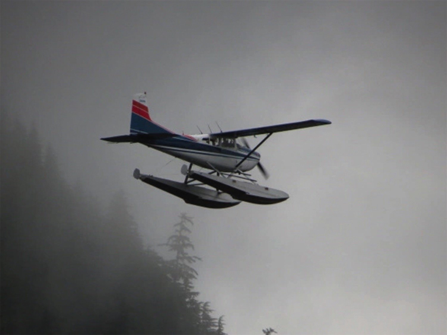
I’ve done this a few times, though, the most memorable of which involved an isolated Alaskan lake, a Cessna 180 on straight floats and early-morning light that made it difficult to gauge the overcast’s base. The left-seater and I mounted up to see if it was even worth trying to get out. We didn’t get far—as we climbed above the trees, it was obvious flight visibility was well below what we needed. I have a memory of one wing being in clear air and the other in cloud as we turned around and set up for a landing back on the lake we’d just departed. As the man said, you have to know when to hold ’em and know when to fold ’em. —J.B.

Among them is what happens if the airplane’s primary electrical power source fails (there must be a second one capable of handling the load), failure analysis—what happens if an inflatable deicing boot fails, or a hot air bleed line develops a leak. Of course, the system must alert the pilot to any failure, especially one with which the known-ice certification is invalid.
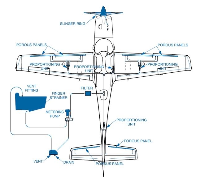
Prior to adaptation of the TKS fluid-based anti- and de-icing system, known-ice approved piston singles—of which there were very few—depended on engine-driven air pumps and inflatable boots, plus heated fuel tank vents and windshields. A representative system diagram for the TKS system is the installation aboard known-ice-approved Cirrus piston singles.

Icy approach
While on approach to Wichita’s Mid-Continent Airport (KICT) in icing conditions, a Beech B60 Duke experienced a loss of airspeed and landed short of the runway, sustaining unspecified damage. The sole pilot was not injured. Strangely, there was no NTSB investigation of this event. Although the airplane was totaled because the cost to repair the damage was greater than its insured value, it apparently did not pass the threshold of reporting and investigation requirements under the NTSB’s Part 830.
I know about this crash because I ended up giving the pilot ground instruction on airframe ice, its impact on airplanes, icing forecast products and the limitations of so-called flight in known icing (FIKI) certification. During our ground session, the pilot told me his story.
Ice had been forecast for the Wichita area, but there were no pilot reports one way or the other before he took off. As he neared Wichita in clear air above an overcast, he heard airplanes ahead of him report light to moderate ice on the approach. He briefly considered diverting to Kansas City, where he would not have to descend through clouds to land. Instead, he decided to fly the approach into Wichita, and miss and fly to Kansas City if needed. After all, the airplane had FIKI approval.
The pilot was hoping to be kept high above the undercast until close to the final approach fix for the ILS into Wichita, but traffic caused ATC to direct his descent into the clouds several miles further out. Almost immediately upon entering the clouds, the Duke began to ice up. The pilot had some experience flying in ice, however, and had correctly turned on all anti-icing equipment before entering the clouds. Now, as he flew inbound, he found he had to cycle the pneumatic deicing boots on the wings and tail almost continuously—the requirement of continuous use of deicing equipment being the definition of “moderate” ice accumulation, and the upper limit of FIKI approval.
Part of the Duke’s “known icing” package was a small heated plate on the windscreen, mounted near the middle of the windshield so a pilot in either seat could see a small swatch of the sky (and ground) ahead. The “hot plate” was working, but the pilot was concerned that he had virtually no forward visibility except through that tiny rectangle. He continued the approach until he had the ground in sight straight down, but he could not see anything through the mainly ice-obscured windscreen. In a slight panic, he told me later, he decided he needed to miss the approach and fly to Kansas City. When he advanced the throttles to full, however, the airplane pitched up and the Duke began to mush into a stall. Luckily for the pilot, the Duke’s tail hit the ground before the wing or tailplane stalled. The airplane slammed down on its main landing gear and came to rest on level grass a hundred yards or so short of the runway threshold. When first responders arrived, the pilot and his dog were walking around unhurt.
Common threads
Each one of these weather-related crashes has its own unique circumstances. In addition to the obvious—and not so obvious—factors borne out in official reports or that come to light with unofficial additional information, there are common threads that run through all three of these events…and, I suspect, in almost all weather-related mishaps. What commonalities exist in these and other weather accidents that can help you make better aviation weather decisions?
Expectations. Go/no-go decisions are heavily influenced by expectations—those of the pilot, passengers and of persons who await our arrival on the ground. One of the most important skills you need as pilot-in-command is the ability to set and manage expectations for those affected by your go/no-go decision.
If your passengers have flown much on the airlines, they’ll probably have personal experience with a weather delay. If big airliners are so affected by the weather, you can tell them that it stands to reason that your smaller aircraft is at least as susceptible. Assure your passengers and others that you take your responsibility seriously, and you won’t hesitate to delay, cancel or divert if the weather demands it. Tell them this before a flight and they are less likely to pressure you to go because they know why you have to make the decision.
Short cuts. Cutting corners or violating the rules for the sake of convenience is a frequent set-up to a weather-related accident. Failing to put the same level of planning and thought into a short “hop” that you might put into a longer trip—especially in hazardous conditions—is a common factor.
Visible and invisible threats. Weather-related accidents often include an element of trying to get in or out just ahead of a weather threat. Some weather phenomena are well-defined and often visible, either directly or through the use of today’s technology. Other hazards, however, remain invisible though no less deadly.
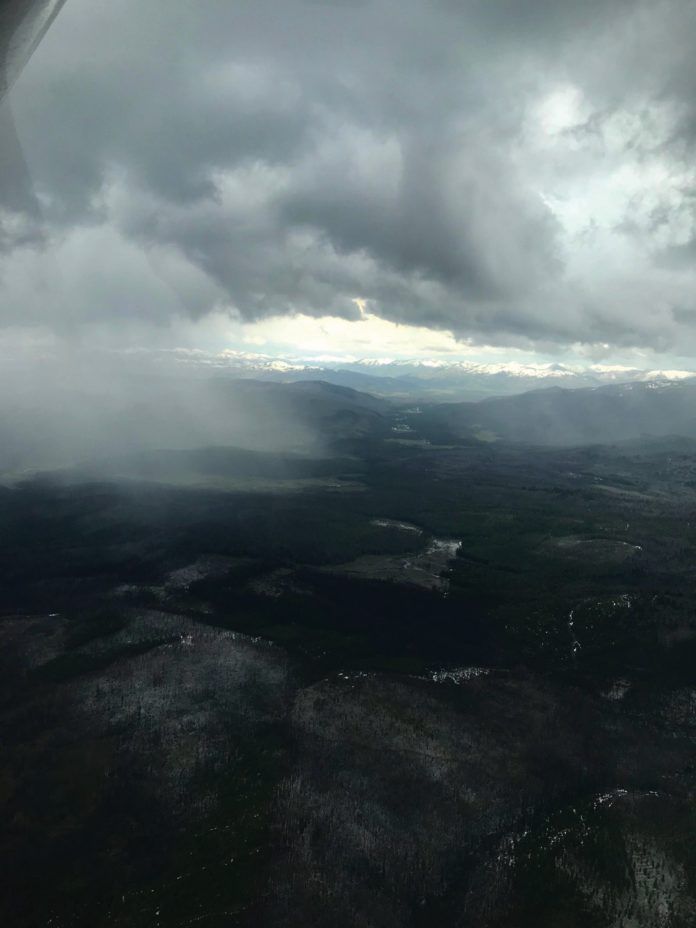
Dangerous winds routinely push out ahead of storms at the surface. Extreme turbulence exists in the cumulus or updraft stage of thunderstorm development, the first part of a storm’s life cycle. But by definition, the storm will not show up on radar until later in its mature stage, which is defined as beginning when precipitation falls from the cloud.
While it’s usually safe to fly through light precipitation in stratus clouds—the green returns on airborne or uplinked weather—if there is any stronger return in the same cloud complex in cumulus clouds, then the green areas may be very turbulent also and should be avoided. The addition of cockpit weather displays did nothing to change aerodynamics or an airplane’s ability to handle weather. It does make it easier to stay well away from the hazards you identify using the technology.
Underestimating the threat/overestimating capabilities. Hoping the weather isn’t as bad as it looks, or as it is reported or forecast, often coupled with an overestimation of your own ability or that of the aircraft to operating in the threatening condition, is a fallacy that, in retrospect, is almost always a factor in weather-related crashes.
“Take a look.” Under controlled circumstances, it may be safe to “take a look” to see if you can fly around a weather hazard. The caveat is that your entire “looking” time must be unexposed to the hazard, and you must always have an exit path and the discipline to execute your escape before you encounter the threat. Taking a look should be treated with the same planning and seriousness as an experimental test flight, not just a quick jaunt to see if it’s too bad to be up there.
The pilot knows better. A very common comment from pilots who have experienced a weather accident “near miss” or are the rare survivors of a weather accident is that they knew they shouldn’t have tried what they were doing. Another common realization is that they should have sought more information or spent more time planning but didn’t. Most pilots know right from wrong. It’s just that it’s often so darned inconvenient to act on that knowledge, or too easy to talk yourself out of it.
Weather can be hazardous to airplanes. The real weather threat, however, is the way pilots approach weather-related go/no-go decisions.
Tom Turner is a CFII-MEI who frequently writes and lectures on aviation safety.


